Directions
How to Get to Oxbow Meadows
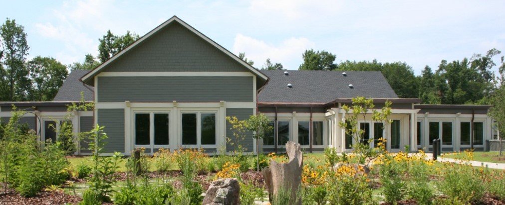
Oxbow Meadows
Environmental Learning Center
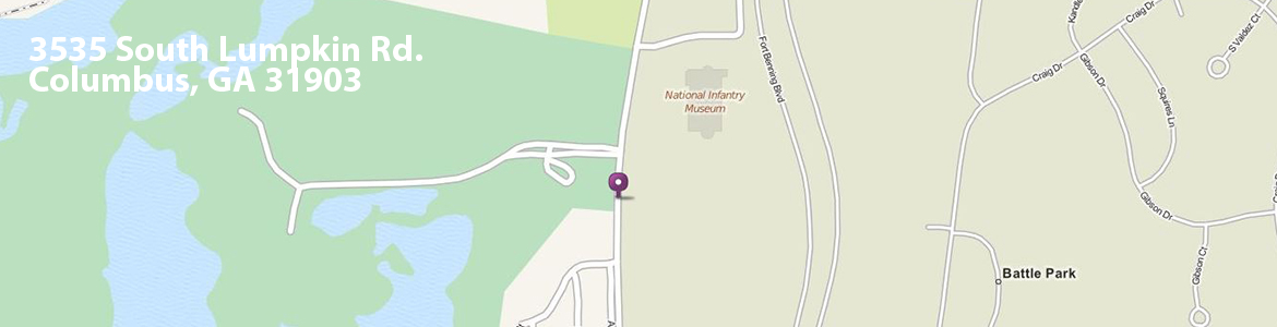
3535 South Lumpkin Rd
Columbus, GA 39013
Going East on Victory Drive: Take a right onto South Lumpkin Road. Drive south on South Lumpkin Road for about 3 miles, passing Oakland Park, the entrance to the sewage treatment plant, and the golf course. When you see the Infantry Museum in front of you (to the left), you should also see stone pillars and a sign that says 'Oxbow Meadows Environmental Park'. The iron gates will be open. Drive into the parking lot, park, and walk south on the path towards the big building. The door you want to enter is at the end of the walking path.
Coming from I-185 on Victory Drive: You can take South Lumpkin Road, but you can also turn onto Fort Benning Road. You will enter Fort Moore and drive until you come to the first entrance of the parking lot for the Infantry Museum (see large rifle right and hotel). Find your way to the west side of the parking lot and exit onto South Lumpkin Road. From there, you should see stone pillars and a sign that says 'Oxbow Meadows Environmental Park'. The iron gates will be open. Drive into the parking lot, park, and walk south on the path towards the big building. The door you want to enter is at the end of the walking path.
CAUTION! Many of our customers get lost when using Apple maps (aka iPhones). Proceed at your own risk!